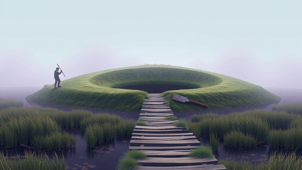

There's a patch of Shropshire that used to be marsh. Genuinely marsh, the kind of ground that swallows cart wheels and eats cattle, drained in pieces over the centuries until the wet survives only in place names and ditches that don't drain the way they should. And in the middle of that old drowned landscape, someone in the Iron Age decided to build something enormous.
Archaeologists have come back to the fort for the first time in almost four decades, and the new excavation is asking the questions the last one couldn't answer. Why here, in terrain that fights you every step. Why the earthworks are so much bigger than they need to be. And strangest of all, why the site is threaded with causeways, raised paths crossing ground the builders apparently wanted to keep wet.
According to the Times of India's report, the team is focusing on how the massive banks and ditches relate to the surrounding wetlands, because that relationship seems to be the whole point of the place. This wasn't a hill fort plonked on the highest available ground. It was built down in the muck, deliberately, with engineering that suggests the water was part of the design rather than a problem to solve.
Sit with that for a second. Iron Age communities could build dry, defensible settlements on hills; they did it constantly, all over Britain. Choosing the marsh instead means the marsh was doing something for them. A mirror of standing water in front of your earthworks is a decent deterrent, sure, but it's also a stage. Anyone approaching saw their own reflection the entire way in. I was reading about splash-zone archaeology at half two in the morning and I haven't stopped thinking about that image since.
The causeways are the part that gets me. If the water was purely defensive you'd want no crossings at all, or one, narrow and killable. Multiple unexplained causeways suggest something more like ritual geography, processional routes, a landscape scripted so that entering the fort meant passing through water in a prescribed way. We see this logic elsewhere in Iron Age Britain, deposits pushed into lakes and bogs, weapons bent and sunk, valuables given to the wet on purpose. The bog was a category of place to these people. Not waste ground. A threshold.
Forty years is a long gap between excavations, long enough that everyone who dug here originally has had a whole career to sit with what they found and what they didn't. The techniques have changed too. What passed for a completed excavation in the 1980s is now a first pass, and wetland sites in particular have benefited, because waterlogged ground preserves things dry ground destroys. Wood, textiles, leather, the organic material that normally rots into nothing. If this site kept its water table through the centuries, there may be objects coming up that we almost never get to see from this period.
Or the trenches come up empty and the questions get sharper. Either outcome is fine by me. I said this about the Middle East dig I wrote about earlier this week and I'll say it again: the full report is where the truth, or the absence of it, lives. And it arrives on its own schedule.
My working bet, having read enough of these to recognize the shape, is that the wetlands weren't incidental at all. Nobody hauls that much earth into a marsh by accident. The question isn't whether the water meant something to the builders. It's what, and whether two thousand years of drainage has left enough of the answer in the ground to read.
Comments (0)
Log in or sign up to join the conversation.
No comments yet. Be the first.