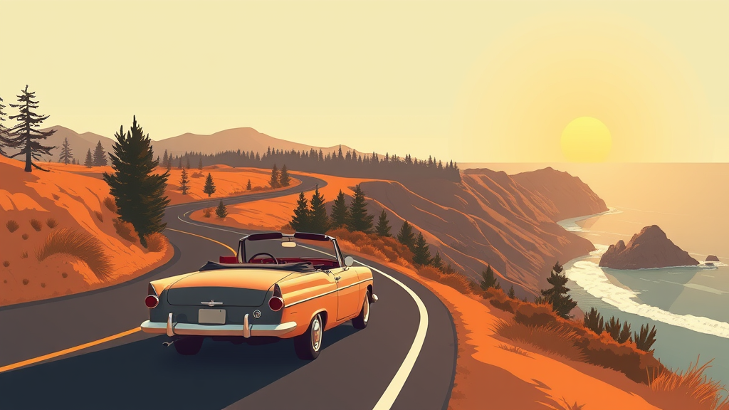

One piece of advice separates a good Highway 1 trip from a great one, and Forbes Travel Guide just nailed it in their guide to the route: drive it north to south. That's it. That's the whole trick.
Why it matters: heading south puts you in the right-hand lane, which means the ocean is right there, on your side, unspooling past your passenger window for hundreds of miles. Heading north, you're the one in the cliffside lane with a concrete barrier between you and the view, and every scenic pullout means cutting across oncoming traffic. I learned this the hard way years ago driving up from San Diego with my dad, white-knuckling left turns into overlooks while logging trucks bore down on us. Never again.
The classic run starts around Monterey and Carmel, rolls through Big Sur, and keeps going toward San Luis Obispo and beyond. Give it at least two days, three if you can swing it. Big Sur alone eats a full day, and I mean that literally, you'll stop every twenty minutes because the light hit a cypress tree the right way and now you're standing on a cliff taking photos of sea otters.
The highlights, in driving order: Monterey's Cannery Row and the aquarium if you've got a morning. Carmel's white-sand beach, which catches people off guard because nobody expects a proper beach town at the end of a scenic peninsula. Then Bixby Bridge, the most photographed span in California and worth every tourist in the pullout. Stop at Point Lobos State Natural Reserve, twelve-ish miles south of Carmel, don't quote me, because the coves there hold sea lions, otters and hiking trails that smell like sage and salt. McWay Falls at Julia Pfeiffer Burns State Park drops eighty feet onto a beach you can't walk on, which somehow makes it better. Pfeiffer Beach with its purple sand. Elephant seals sprawled at Piedras Blancas like a pile of wet sandbags that occasionally bellow.
But the thing is, the named stops are almost beside the point. Highway 1 is a drive where the between-parts are the attraction. One minute you're in redwoods so thick the road goes dark and cool, the next you round a bend and the entire Pacific opens up with nothing between you and Japan. Condors ride thermals over the ridgelines. Fog pours through gaps in the hills like slow water.
A few practical notes, earned through mistakes. Fill your gas tank before Big Sur; the stations in there charge like they know you're desperate. Check road conditions before you go, because landslides close stretches of this highway regularly and detours can add hours. Cell service disappears for long stretches, which I'd call a feature. And if you're prone to motion sickness, the passenger seat southbound involves a lot of curves, so pack the ginger chews.
The Forbes piece also makes the point that this is a slow road, and they're right. Sixty miles of Highway 1 takes twice as long as sixty miles of interstate, not because of traffic but because you'll keep stopping. Budget for that. Fight the urge to make time.
The outdoors belong to everybody, and Highway 1 is one of the few world-class routes where you don't need a permit, a reservation or technical skill to earn the best views. You just need a full tank and the right direction of travel.
Southbound. Write it on your hand if you have to.
Comments (0)
Log in or sign up to join the conversation.
No comments yet. Be the first.